



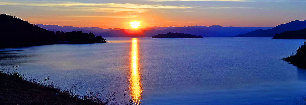









Ben Hai River | DMZ Vietnamese Demilitarized Zone
0
Reviews
Prices
Ben Hai River | DMZ Vietnamese Demilitarized Zone
Located along route 120 km north of Dong Ha and 60 km south of Dong Hoi, Ben Hai River is the official dividing point between Vietnam’s North and South Vietnam at the centre of the DMZ between July 22, 1954, and April 29, 1975, before South Vietnam fell.
By and large paralleling the seventeenth parallel, the Ben Hai River comes out of the Laotian highlands and runs into the South China Sea.
The river has a total length of about 100 km, flows from west to east just south of the 17th parallel and close to the northern border of Quang Tri Province.
Details
Vietnamese:
sông Bến Hải
Province:
Quảng Trị Province
Region:
North Central (Bắc Trung Bộ), Central Vietnam (Trung Bộ, Miền Trung)
Driving Directions (Road Map): Dong Ha to Ben Hai River
Driving Directions (Road Map): Da Nang to Dong Ha
0 Reviews
Write a Review
Sponsored Ad
Halong Bay Cruises
Discover Southeast Asia's stunning scenery and enjoy an unforgettable experience in one of the most popular destinations