












Samet Nangshe Hilltop Viewpoint | Scenic Spot | Ao Phang Nga National Park
Samet Nangshe Hilltop Viewpoint | Scenic Spot | Ao Phang Nga National Park
The area around Phang Nga Bay is geologically referred to as a drowned karstiand, which refers to an irregular limestone region with sinks, underground streams, and caverns.
Over islands of this description rise some meters or more out of the milky brown grey water of the bay, creating one of the most photogenic scenes in the world. The origin of this region dates back to the Cretaceous-Tertiary Period of about – million years ago. Coral and other marine organisms once flourished in this area, laying deposits over time with their rich calcium deposits over with their rich calcium.
Movements following the Cretaceous- Tertiary Period exerted enormous Pressures on the sedimentary rock, rupturing it, causing the stiff limestone to either be thrusted upward or to sink. The movement of the rock, coupled with glacial and water movement over time has resulted in the multi-hued brown rock formations you see today.
0 Reviews
Write a Review
Sponsored Ad
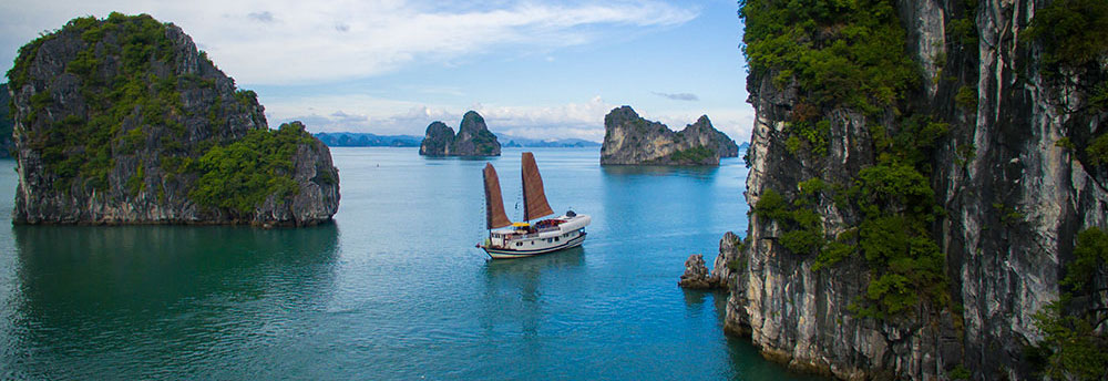
Halong Bay Cruises
Discover Southeast Asia's stunning scenery and enjoy an unforgettable experience in one of the most popular destinations